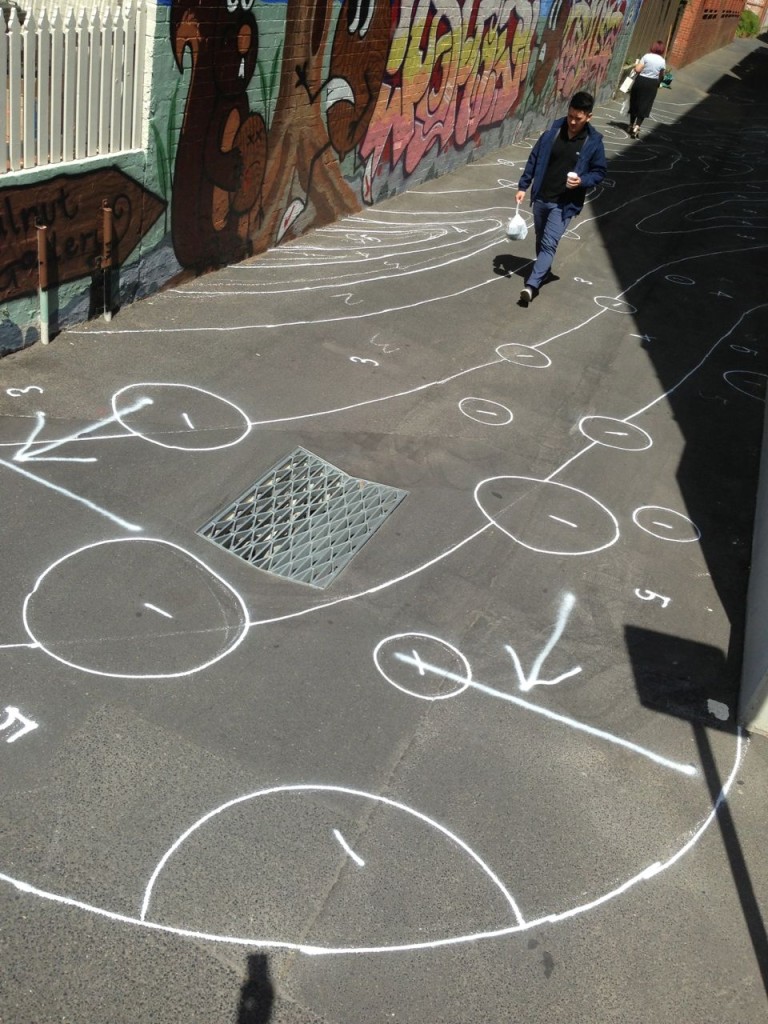
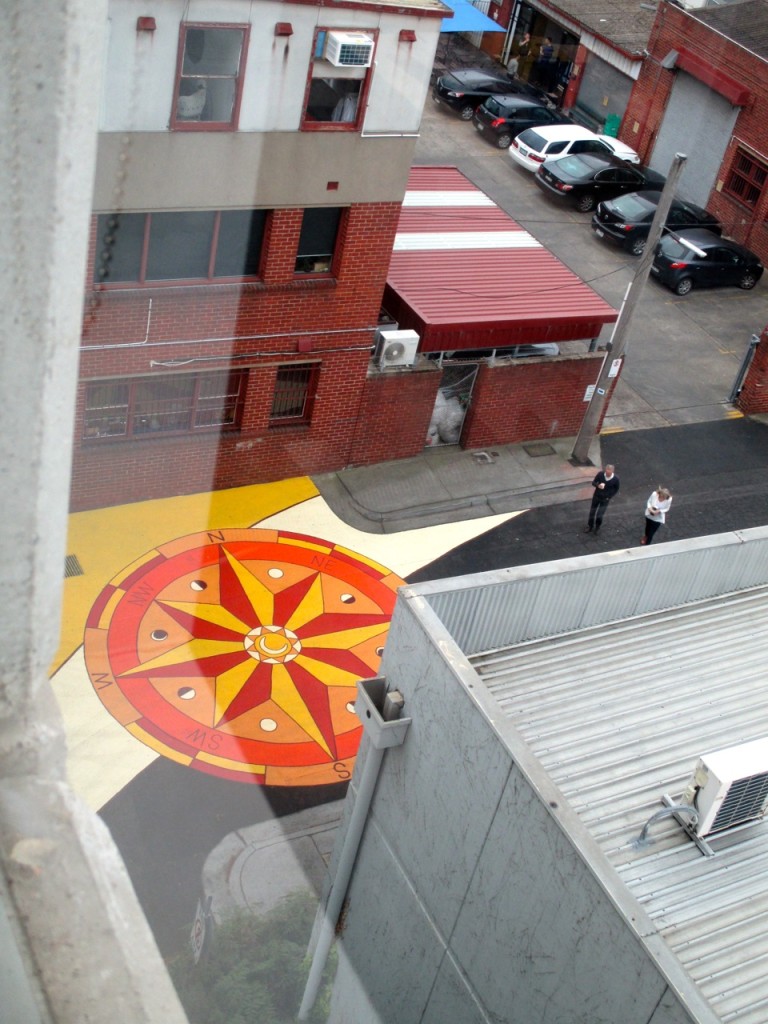
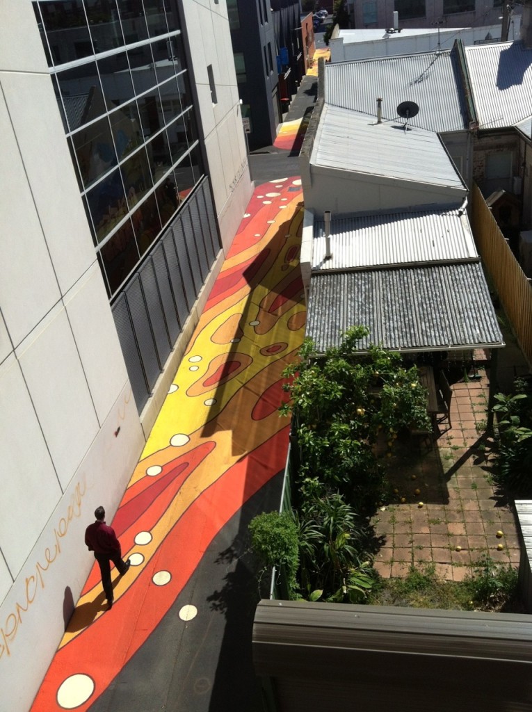
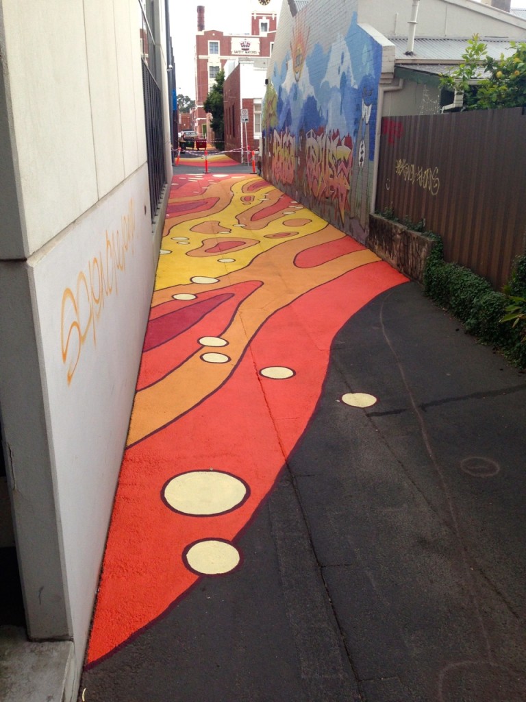
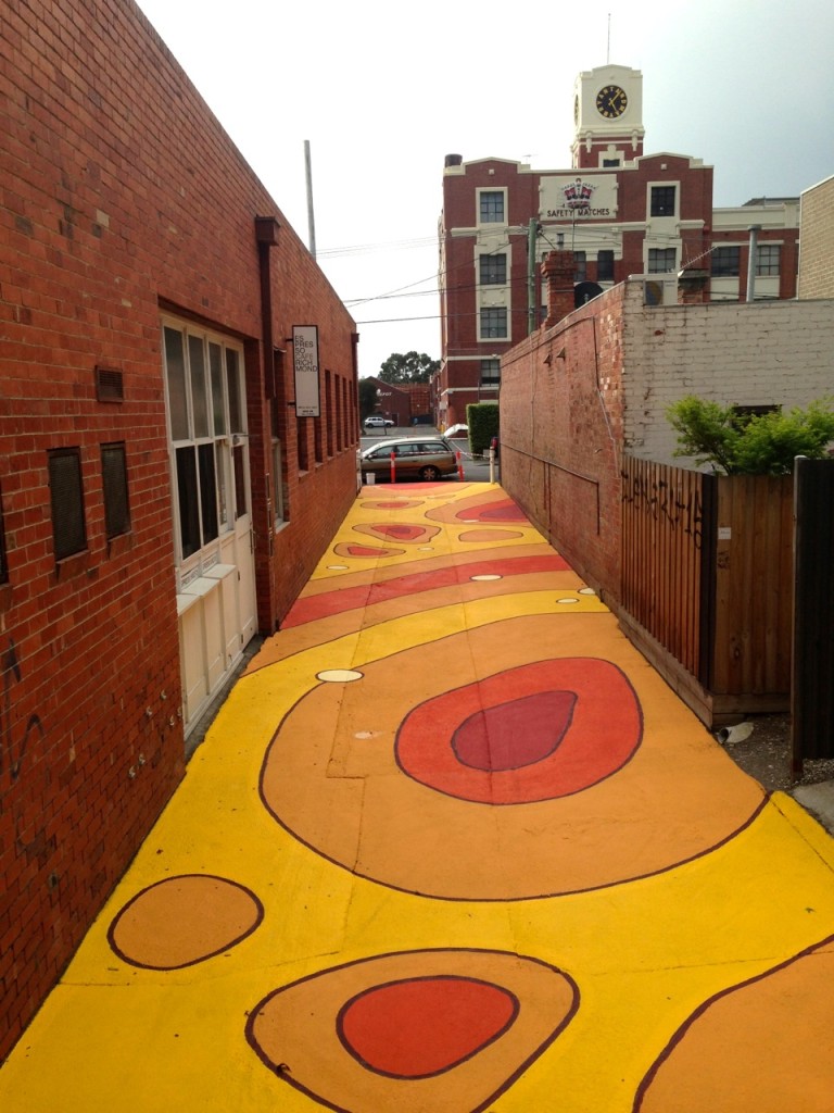
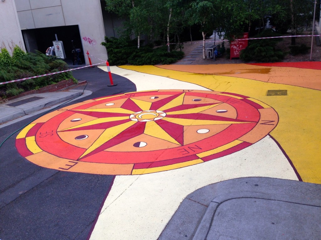
This road mural is located along Walnut Street, Cremorne to identify it as a ‘Shared Zone’, where pedestrians occupy the street in conjunction with motorists. It alerts drivers to slow down and take care of other users.
The artwork is a bold topographic map and has multiple purposes: to illustrate a geographical vision and history of what lay below our roads before they were covered in bitumen, encouraging people to ask, ‘What was here before the city?’, ‘What was the lie of the land in this area?’ and ‘What could our future cities look like?’ The mural creates the illusion of walking through a map and plays with scale, reminiscent of an immersive and altered reality in a computer game or maze.
The colours are intended to warm the space and bring in an earthy natural Australian association. They have been used as they contrast with traditional road marking colours. The curved lines and hand-painted aesthetic also act to mark the space as ‘different’ and to make it more pedestrian orientated. This is one of a number of place making initiatives being rolled out in local streets by Yarra Council. The intention of these place making initiatives is to create more liveable street environments that move local streets away from a purely transport function.
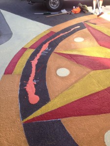
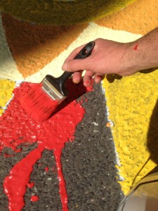
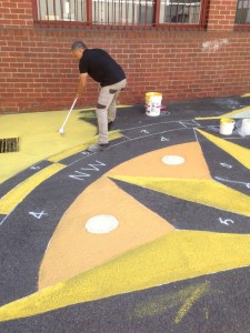
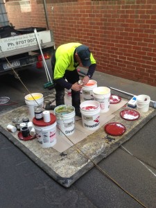
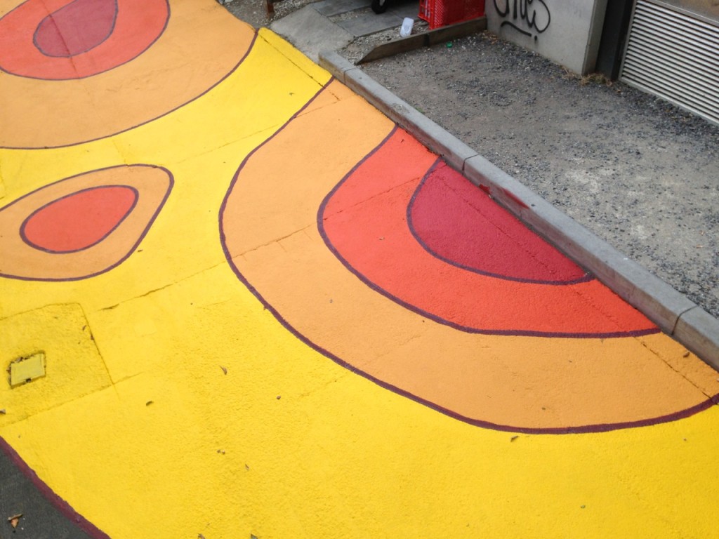
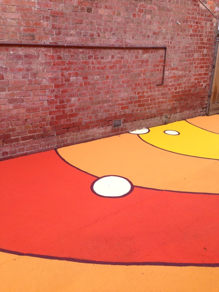
PROCESS Shots: